
Tallebudgera Valley
Tallebudgera Valley is defined by acreage, steep and rolling terrain, waterways and dense landscape. Residential projects require early understanding of access, slope, drainage, vegetation, bushfire information and servicing so that architecture can sit lightly and logically within the property.
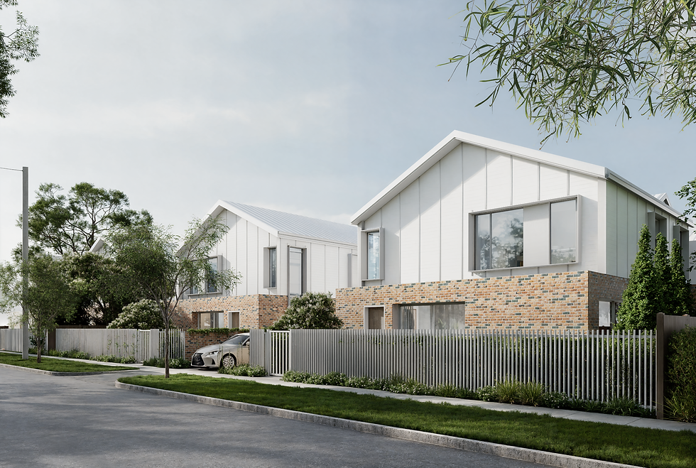
Architecture placed carefully within a working landscape.
Version 13 mapping across Tallebudgera Valley includes multiple named creeks, flood assessment, bushfire and landslide hazard, hinterland and koala habitat, critical corridors, regulated vegetation, wetlands and lake mapping. The official locality is large, so mapped conditions differ substantially between properties. Access, on-site water and wastewater, bushfire response, ecology, drainage, slope and survey information may all be needed before a reliable building position or approval strategy is proposed.
Tallebudgera Valley asks for a patient reading of the land. A house can follow a contour, preserve a creek corridor and use existing clearings rather than forcing a suburban platform onto acreage. Long roofs, sheltered thresholds and a limited palette can provide shade and coherence, while separate service structures are placed as part of the whole site composition.
Considering land in Tallebudgera Valley?
Share the address and any survey, vegetation or servicing information available. We can help define the investigations needed before selecting a building position.
Considering a Gold Coast project?
TURNER+ welcomes enquiries for new homes, major renovations, extensions, coastal design, sloping sites and pre-purchase architectural advice across the Gold Coast.
Architecture shaped by climate, outlook and landscape.
City Plan mapping can identify zoning, building height, dwelling-house, flood, coastal, bushfire, environmental and other considerations. These controls are property-specific, so early advice begins with the address and current planning information rather than a suburb-wide assumption.
City Plan mapping can identify zoning, building height, dwelling-house, flood, coastal, bushfire, environmental and other considerations. These controls are property-specific, so early advice begins with the address and current planning information rather than a suburb-wide assumption.
Good residential design on the Gold Coast balances shade, filtered light, ventilation, privacy and durable materials with the way a home connects to garden, water or terrain. The response changes significantly between an ocean-facing apartment, a canal property, an established coastal street and a hinterland site.
Residential Architect Goldcoast
The Gold Coast is not one architectural condition. Oceanfront streets, canal estates, established coastal neighbourhoods, urban centres and hinterland properties each create different questions of climate, outlook, privacy, access and landscape.
Considering a Gold Coast project?
TURNER+ welcomes enquiries for new homes, major renovations, extensions, coastal design, sloping sites and pre-purchase architectural advice across the Gold Coast.
Architecture shaped by climate, outlook and landscape.
City Plan mapping can identify zoning, building height, dwelling-house, flood, coastal, bushfire, environmental and other considerations. These controls are property-specific, so early advice begins with the address and current planning information rather than a suburb-wide assumption.
City Plan mapping can identify zoning, building height, dwelling-house, flood, coastal, bushfire, environmental and other considerations. These controls are property-specific, so early advice begins with the address and current planning information rather than a suburb-wide assumption.
Good residential design on the Gold Coast balances shade, filtered light, ventilation, privacy and durable materials with the way a home connects to garden, water or terrain. The response changes significantly between an ocean-facing apartment, a canal property, an established coastal street and a hinterland site.
Residential Architect Goldcoast
The Gold Coast is not one architectural condition. Oceanfront streets, canal estates, established coastal neighbourhoods, urban centres and hinterland properties each create different questions of climate, outlook, privacy, access and landscape.